
Wednesday Morning’s Weather Briefing — June 3, 2026
Good Wednesday Morning!
Temperatures as of June 3, 2026 at 6 AM
It’s COOL start to the day in some areas!
This morning’s update is sponsored by Roebothan, McKay, Marshall.

Visit MakeTheCall.ca today to learn more about how the law firm can help you!
Here are today’s highlights:
Expect lots of sun across much of NL today!
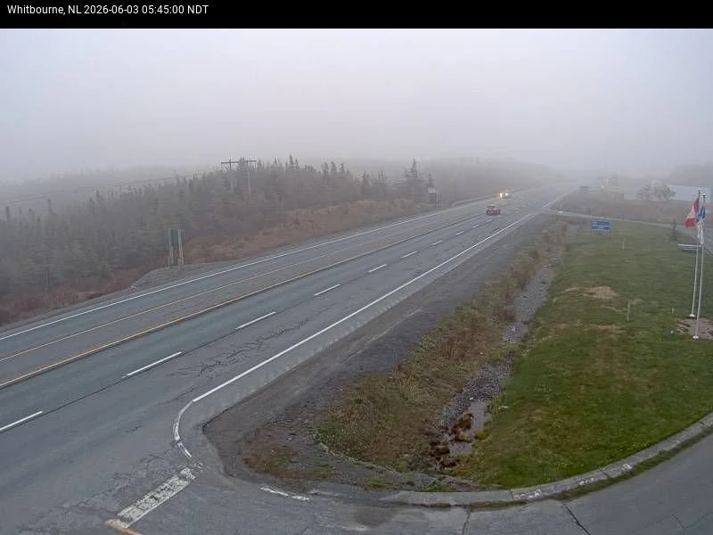
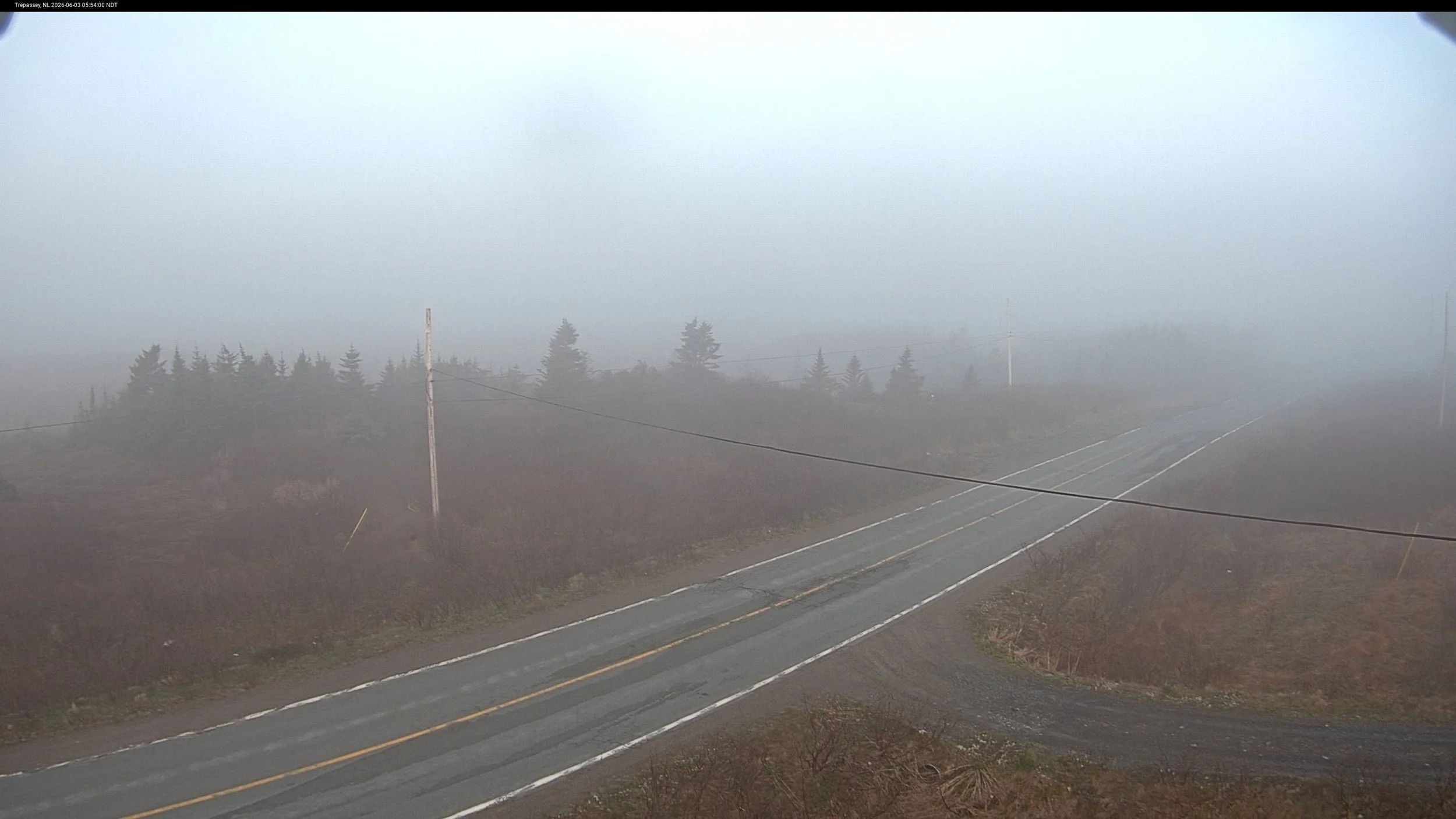
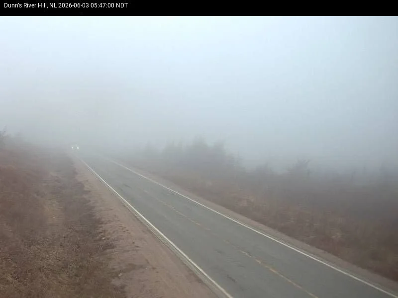
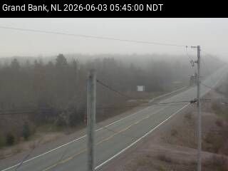
There is some fog this morning over the middle southern and central portions of the Avalon Peninsula and on the Burin Peninsula early this morning. Forecasts indicate that will clear off later this morniung.
Temperatures will be comfortable for many today. Tomorrow will generallly be warmer!
Watching a cool down for later in the week…
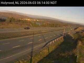
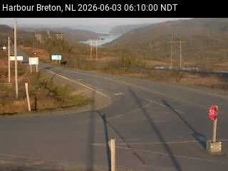
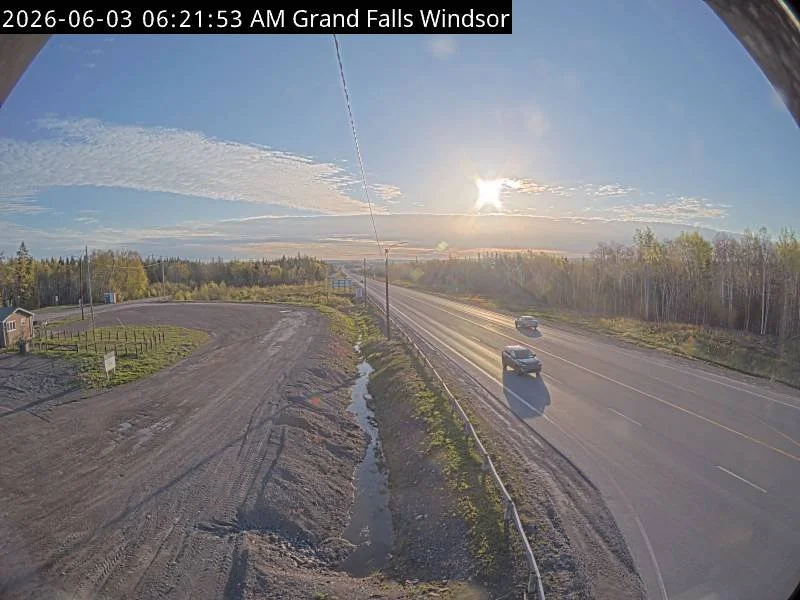
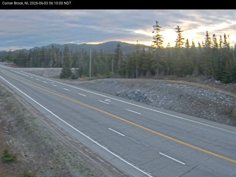
Here are a few 511NL.ca webcams from this morning
It certainly is a cold and sunny start to the day for many areas of the Island, where readings are near or below the freezing mark. There is frost in my backyard this morning! We are also seeing some areas of fog, which is forecast to clear off later this morning. Temperatures recover nicely today, climbing into 13 to 18°C — a solid ten-plus-degree recovery from those brutal overnight lows. It will be cooler, closer to 10ºC, in areas of onshore winds. Southwest winds will strengthen during the day, gusting to 40 km/h in spots, so it will feel breezy but not unpleasant. The Northern Peninsula is the exception — southwest winds are already howling at 30 to 50 km/h, gusting near 50, with the forecast calling for gusts as high as 80 km/h through the day. Highs up there stay in the upper single digits to near 11°C.
Today’s forecast for Newfoundland - June 3, 2026
Over in the Big Land, temperatures are already hovering in the 5ºC to 8°C after overnight showers cleared out. It’s a bit cooler in the north. We are set to have a warm day across much of Labrador, with highs reaching the upper teens to lower 20s. The exception will be in the north, where single-digit highs will be the rule.
Today’s forecast for Labrador - June 3, 2026
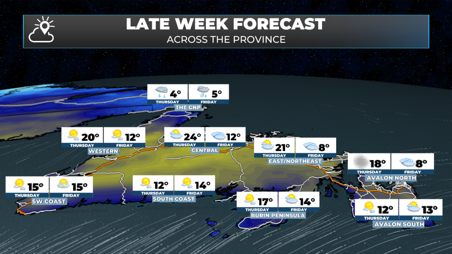
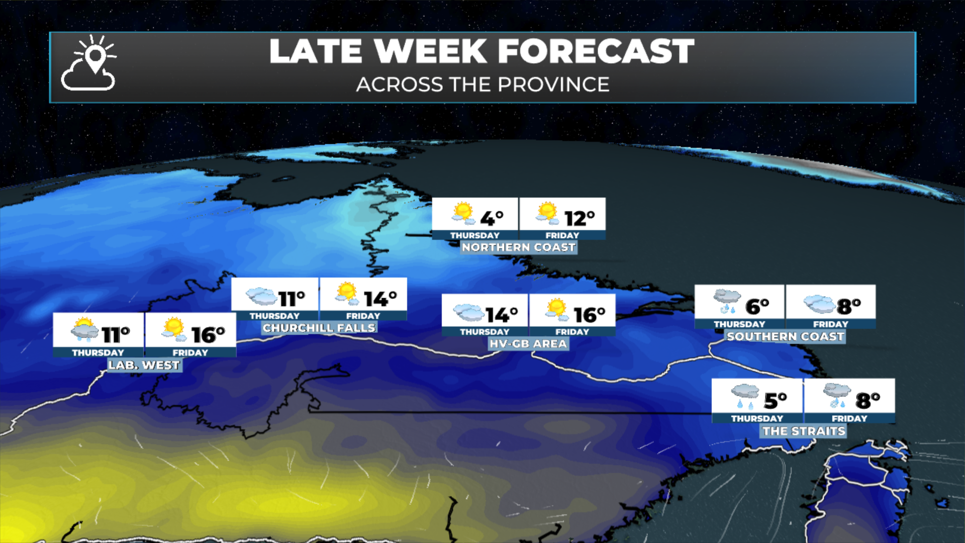
Thursday is the large day for most of the province. A warm southwesterly flow pushes highs to 18 to 20°C across much of the Island — the warmest readings of the spring so far. The Northern Peninsula will be the exception. A system tracking in from the northwest brings rain and a sharp temperature reversal Thursday, crashing highs back down to just 4 to 6°C with steady rain. Friday adds rain and snow showers to the mix on the Northern Peninsula and at higher elevations, while areas farther south will see clouds and a cooler trend, with highs dropping back into the 8 to 10°C range on the Avalon and Central. Labrador will also see a big time cool down for the end of the week.
The window is short — enjoy Thursday if because the weekend pattern is worth watching. By Sunday, the setup looks increasingly active across the Avalon and Northeast Coast, with significant rainfall possible late in the weekend. I'll have more detail on that in today's update.
My next update will be posted later today!
FIND ME ON SOCIAL!