
Thursday Morning’s Weather Briefing — June 11, 2026
Good Thursday Morning! Here are today’s highlights:
Rain showers are found this morning over central and eastern Newfoundland.
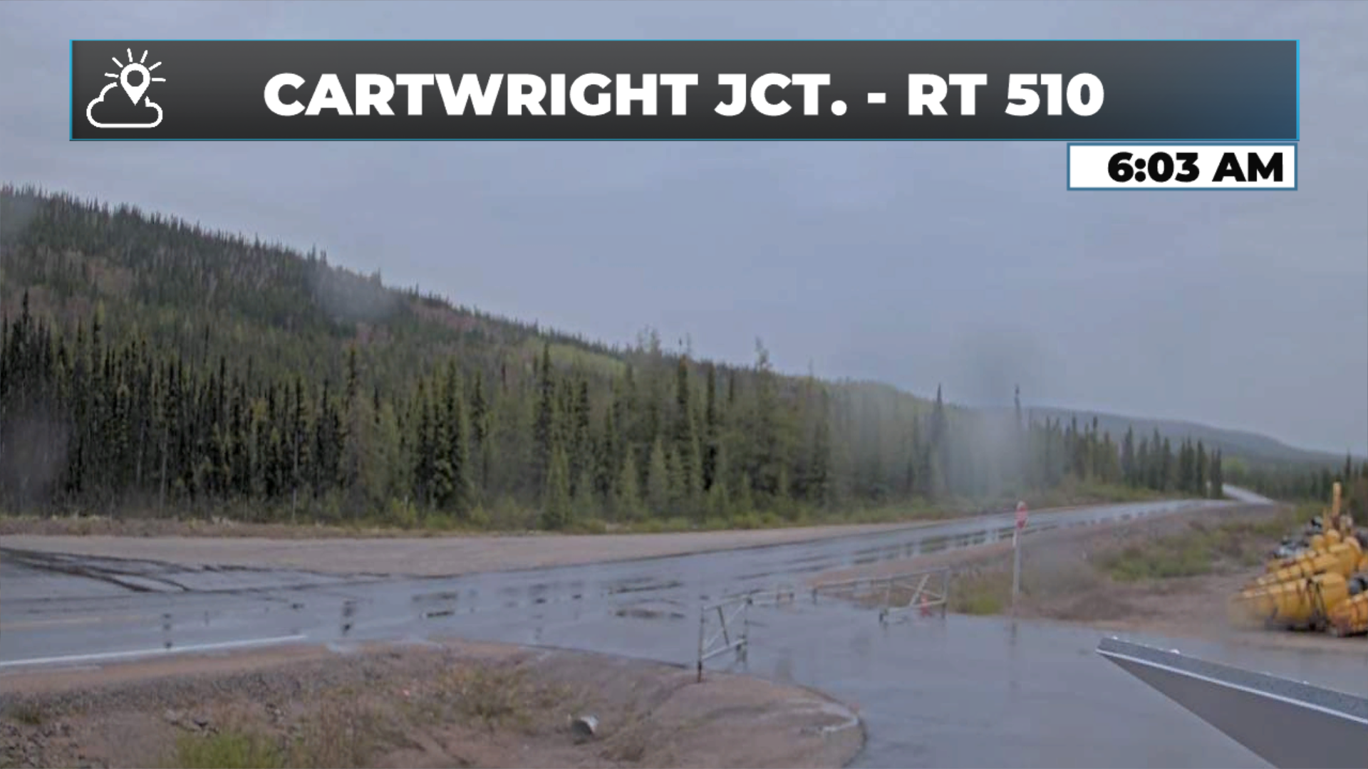
Rain is falling in southeast Labradora nd the GNP, and it will continue through the day.
Highs reach the upper single digits to middle teens across Newfoundland under partly to mostly cloudy skies (unless it’s raining - then it’s cloudy).
Labrador will see highs in the single digits along the coast and near 20º inland. Skies are clear from north to south today. Rain will fall in the southeast and gradually end this afternoon and evening.
Worth noting that some high winds are possible along the northeast and central coast tomorrow behind a departing low. Potential of gusts from the north/northwest nearing 70 km/h from New World Island/Twillingate to Fogo Island Friday afternoon/evening.
This morning’s update is sponsored by Roebothan, McKay, Marshall.

Visit MakeTheCall.ca today to learn more about how the law firm can help you!
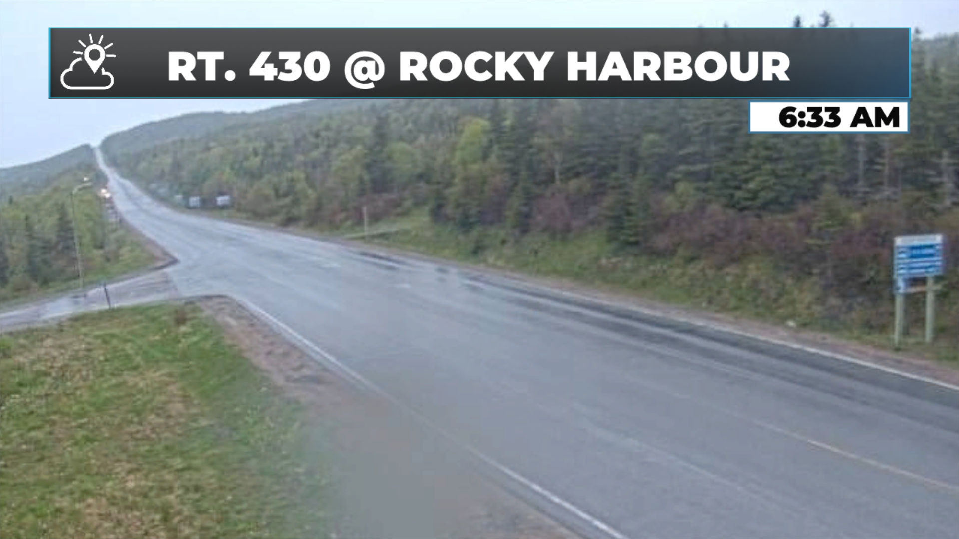
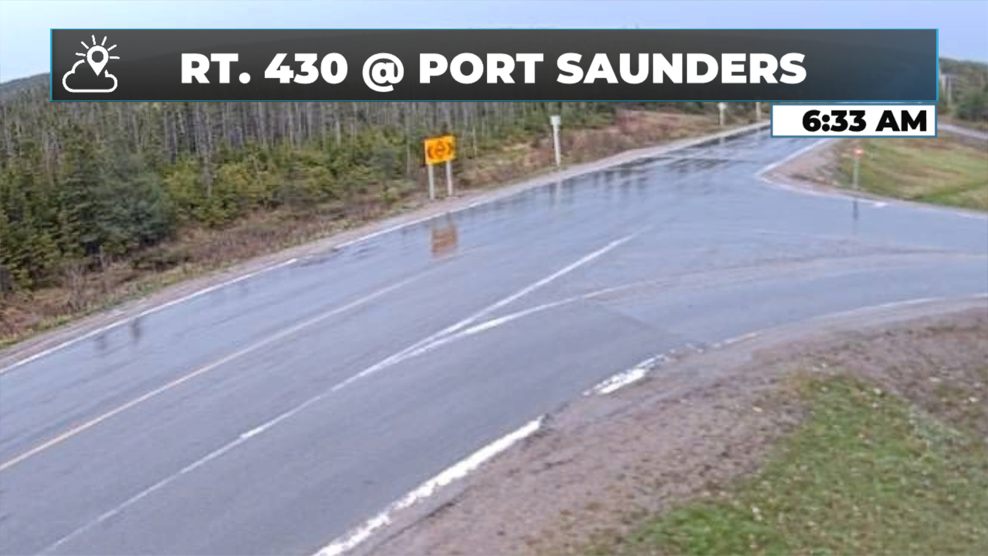
Just after six this morning, radar's picking up showers advancing eastward through central and eastern Newfoundland, with activity across the western areas as well—the Northern Peninsula and Southeast Labrador included. The Marble Mountain radar's down today, so we're leaning on model data and our webcam network to fill in the gaps. The cams in Rocky Harbour, Port Saunders, Birchy Narrows, and Badger are all showing rain at this hour.
Current Conditions
Temperatures across the island are running cool to mild: 4º to 7º on the Avalon, warmest around Placentia, and 6º to 12º across the rest of the island. The southwest is the warmest, near Port aux Basques. Up in Labrador, the Northern Peninsula and Southeast are nearer to 2º or 3º, while inland western areas sit closer to 10º. Despite cool coastal readings in Labrador, there's not enough moisture for fog to develop.
Today's Forecast
Showers and rain will work through southern and southeast Labrador from Goose Bay to Cartwright down through the Straits. On the island, this morning's showers in central and eastern areas will generally fizzle out or become isolated. The Northern Peninsula keeps rain through much of the day. Central Newfoundland will remain mostly dry after the showers this morning, but the northeast coast—Notre Dame Bay and Bonavista Bay—will see rain moving in this evening, continuing into tomorrow morning.
Skies will be generally cloudy across most of Newfoundland, with some clear breaks east to northeast this morning and a few sunny breaks throughout the day. The southwest from Corner Brook down to Port aux Basques and the Codroy Valley will see skies clearing in the second half of the day. Northern Labrador clears this afternoon as cloud moves north to south, with western Labrador following suit later on.
Temperatures today peak in single digits on the Labrador coast, up to near twenty in Lab West. On the island, expect mid-teens inland and on the west coast, while coastal areas in onshore flow—most of the Avalon—stay closer to nine or ten. Inland locations could be significantly warmer. Northeast coastal areas in offshore flow will hit the mid-teens; those in onshore flow will be cooler.
Tomorrow
An area of low pressure developing northeast of Newfoundland will pull away, bringing a cooler day for most tomorrow—except the south and southwest, where conditions look pretty nice.
Worth noting that some high winds are possible along the northeast and central coast tomorrow behind a departing low. Potential of gusts from the north/northwest nearing 70 km/h from New World Island/Twillingate to Fogo Island Friday afternoon/evening.
My next update will be posted later today!
FIND ME ON SOCIAL!