
Staggering Snowfall Totals Listed in Environment Canada’s Latest ‘Storm Summary’
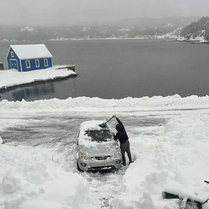
Credit: Angel Roberts, Cottrell's Cove, Newfoundland & Labrador on December 28, 2025
Below is the storm summary, in it’s entirety, from Environment and Climate Change Canada.
A low pressure system slowly approached Newfoundland from the south on Friday and Saturday, December 26-27, before gradually tracking northwestward across the island on Sunday, December 28. The system brought prolonged snowfall to central and western parts of Newfoundland, while in the east a shorter period of snow was followed by rain.

This system came on the heels of a strong Christmas Day storm in some areas, resulting in very large multi-day snowfall totals.

Some of the larger combined snowfall totals (in centimetres) from the two storms spanning December 25-28 included:

La Scie (auto): 146.8
Gander West: 81.7 *
Kippens: 78.0 *

For more details specific to the Christmas Day event, refer to the storm summary issued by Newfoundland and Labrador Weather Office on the evening of December 26.

The following is a summary of information covering the second weather event, from the evening of December 26 through December 28, as received by Environment and Climate Change Canada as of 12:30 P.M. NST today.

1. Snowfall in centimetres:

La Scie (auto): 105.5
Baie Verte: 90.0 *
Norris Point: 70.0 *
Westport: 68.0 *
Massey Drive: 60.0 *
Rocky Harbour (auto): 56.8
Kippens: 49.5 *
Bishop's Falls: 49.0 *
Deer Lake Airport: 47.8
Corner Brook: 40.8 (as of 8:00 A.M. Sunday)
Millertown (auto): 38.8
Gander West: 35.8 * (see note)
Daniel's Harbour (auto): 27.5
Head of Bay d'Espoir: 26.0 *
Bay Roberts: 13.0 *
Lethbridge: 13.0
St. John's International Airport: 11.4

Note: Snowfall in the Gander area occurred in two intervals, with 25.4 cm falling from Friday evening through Saturday morning,
followed by 7.6 mm of rain, and then an additional 10.4 cm of snowfall from early Sunday morning through Sunday afternoon.

Data from automated (auto) stations were derived from a combination of weighing guage data, snow depth sensors, and the application of available snow-to-liquid ratio information.

2. Maximum wind gusts in kilometres per hour:

Cape Pine: 129 *
Sagona Island: 129
St. Anthony Airport: 115
Burgeo: 114
Fogo Island: 108 *
Lord's Cove: 103 *
Argentia: 100
Pool's Island: 100
Wreckhouse: 96
Grates Cove: 95
Ferolle Point: 93
Bonavista: 91
Port aux Basques: 90

* denotes data from unofficial observation sites

Please note that this summary may contain preliminary or unofficial information and does not constitute a complete or final report.