
Monday Morning Weather Update — December 29, 2025
Credit: Julia Jennings — Lewisporte, Newfoundland & Labrador.
Good Monday Morning!
On the large scale, we are starting the day much quieter than the last few. The major winter storm that brought a widespread 30 to 60 centimetres (1 to 2 feet) of snow to much of Newfoundland and parts of Labrador between Boxing Day and late Sunday afternoon has finally departed, and in its wake, the weather is much less impactful on a broader scale at this hour of the day.
That being said, a new round of active weather is moving into eastern Newfoundland. At this hour, rain has arrived on the Avalon, and temperatures are currently near or below freezing. This sets the stage for the rain to freeze on contact with the ground, trees, or power lines, and, subsequently, the result is freezing rain.

This update is sponsored by Roebothan, McKay, Marshall.
Visit MakeTheCall.ca TODAY to learn more about what the law firm can do for you.
The radar loop below shows precipitation moving from west to east, and many more areas of this part of the Island will see freezing rain for several hours this morning into the early afternoon, before the change to rain later this morning or early this afternoon.
Due to the freezing rain threat today, the Environment and Climate Change Canada Weather Office in Gander has issued a FREEZING RAIN WARNING (YELLOW) for the following areas until near NOON today:
St. John’s and vicinity
Avalon Peninsula North
Avalon Peninsula Southeast
Avalon Peninsula Southwest
Clarenville and vicinity
Terra Nova
Bonavista Peninsula
Freezing rain is expected in these areas today for roughly 4 to 6 hours, according to the alert, with an expected total of 5 to 15 mm. The most significant icing will occur over higher terrain. Travel in various forms may become hazardous as roads and walkways will likely become icy and slippery. Be very careful when walking or driving.
Freezing rain warnings are issued when rain falling in sub-zero temperatures creates ice build-up and icy surfaces.
The Freezing Rain Warning alert areas as of 6:15 AM NST on December 29, 2025.
Overall, the highest freezing rain amounts today will be found over the Avalon Peninsula. While I don’t expect many utility interruptions due to the ice accretion, you should notice a buildup of ice on most anything where the freezing rain is occurring.
Outside of the rain and freezing rain, the weather across much of NL will be on the quiet side today, which makes it a great day to clean up the snowfall from areas that are still digging out. Future Radar and Satellite shows this quiet well, along with the expected temperatures in each area. Generally, highs will be near or above freezing for the eastern third of Newfoundland, with the rest of NL below to well below today.
Today’s weather maker will merge with another system coming in from the west tomorrow. This will bring another round of snow to much of Labrador, while the Island will see rain, at least initially, from this next system. This will also have some wind with it. Ahead of this, Environment and Climate Change Canada has issued winter-related weather alerts for Labrador and Wind Warnings for parts of western Newfoundland.
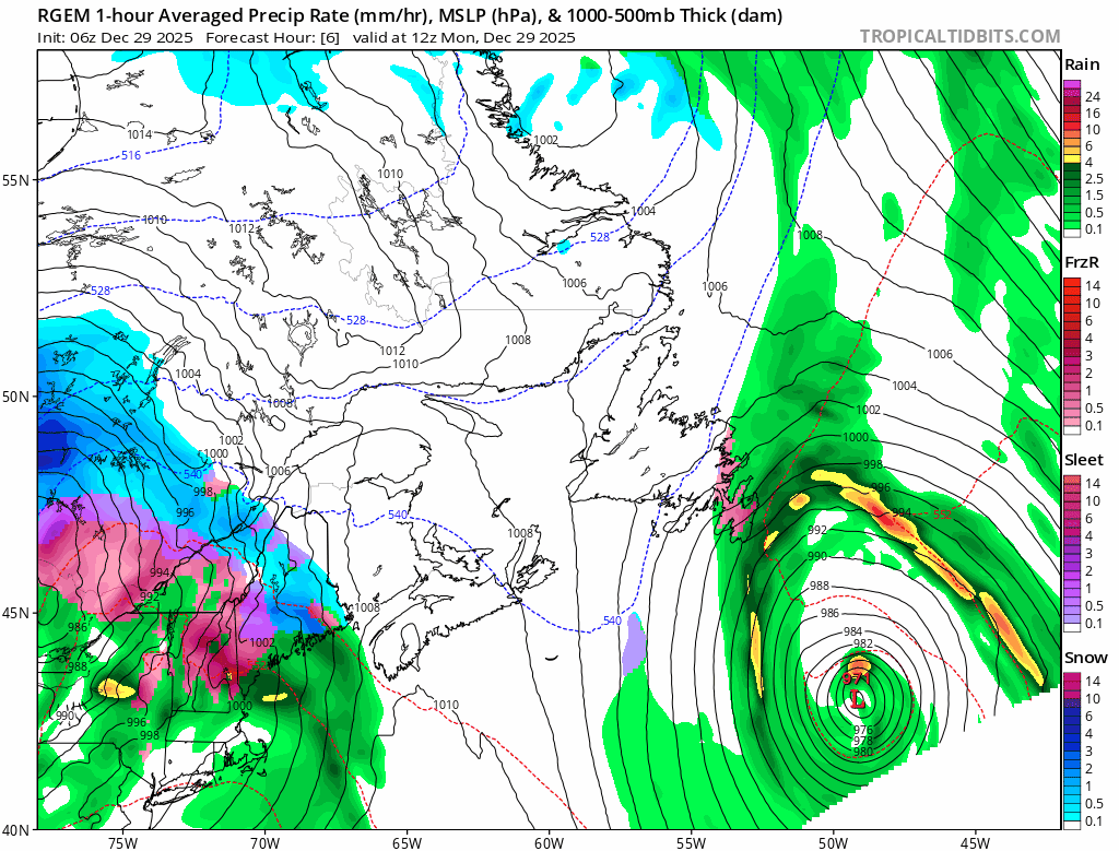
An animation of the weather pattern over the next couple of days. Source: TropicalTidBits.com