
Monday Morning’s Weather Briefing — August 3, 2026
Good Monday Morning! Here are some highlights for the day(s) ahead:
Expect a mix of sun and cloud across most of Newfoundland to start the new week.
Southeastern Labrador will see sunshine to start the day, with increasing clouds this afternoon. In the north and west, it will be more cloudy than anything else today.
Areas of rain, showers and thunderstorms will be found in northern and western Labrador today, with more activity getting going this afternoon and evening as a low-pressure centre approaches from the south.
That low will bring heavy rainfall to much of the Big Land tonight and Tuesday and rain to much of the Island between Tuesday afternoon and midday Wednesday.
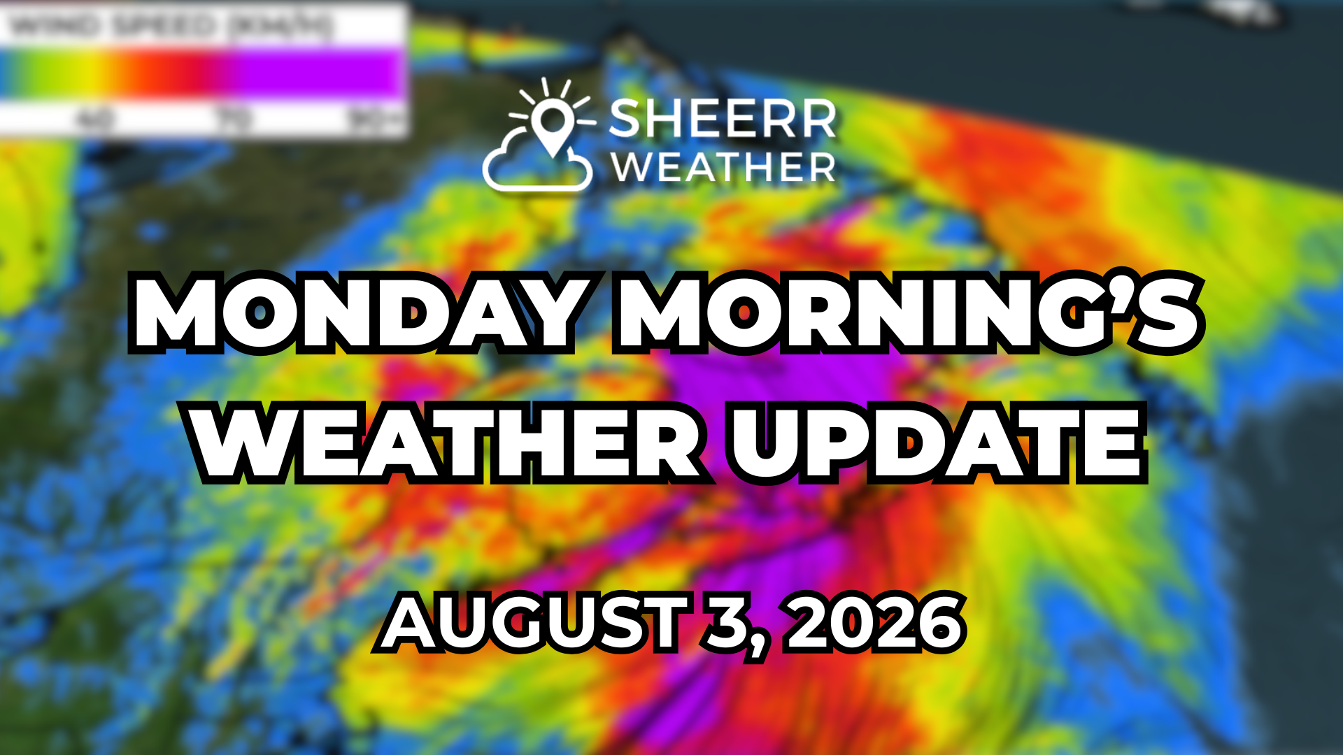
This system will also have high winds, given the time of year, due to strong areas of high pressure offshore. Speeds will gust into the 50 to 70 km/h for many areas Tuesday afternoon into Wednesday morning (higher in the Wreckhouse area).
This morning’s update is sponsored by Roebothan, McKay, Marshall.

Visit MakeTheCall.ca today to learn more about how the law firm can help you!
Monday’s forecast looks easy enough across the Island portion of the Province. Expect high temperatures ranging from the mid-teens to the mid-20s. The warmest readings will be located inland and throughout central and western parts of the Island.
Newfoundland's forecast for today - August 3, 2026
On the Avalon Peninsula, Bonavista Peninsula, and Northeast Coast, there will be localized sea breezes today, meaning right along the water it will be much cooler than just a few kilometres inland. The temperature differences across the Metro today, for example, will be significant from east to west.
The Avalon's forecast for today - August 3, 2026
Eastern Newfoundland’s forecast for today - August 3, 2026
Labrador will see the warmest reading in the southeast today, where highs climb into the mid- and upper 20s under a mix of sun and cloud. Northern and western areas will be cooler, under areas of cloud cover, showers and even possible thunderstorms (west) this afternoon as a low approaches from the south.
Labrador’s forecast for today - August 3, 2026
Future radar and satellite show the advancing precipitation from the inbound low quite nicely today. It also shows how the low will take a somewhat atypical track and turn almost southeast out of Labrador on Tuesday before tracking over the Island Tuesday night into Wednesday. This track will bring rain to much of the Province between Tuesday and Wednesday.
This track will also generate a significant amount of wind across the region in this time frame, as large areas of high pressure over the Atlantic create a strong pressure gradient. Wind gusts across NL between Tuesday and Wednesday will be 50 to 70 km/h for many areas. Gusts will be even higher across the Maritime Provinces from this system!
And the wind on Wednesday is quite important because of Regatta Day. The Nation’s only weather-driven holiday that occurs on the first Wednesday of August (most years). With respect to rowing, it can be done in the fog, cold, damp and even rain… but the wind can make it unsafe, and right now the forecast for Wednesday shows wind speeds being on the high side of what I would consider safe (I rowed on the pond for about 5 years). Be careful playing Regatta Roulette tomorrow night!
My next update will be posted later today!
FIND ME ON SOCIAL!
