Wildfire Update & Forecast: Cooler Days Ahead, Hurricane Erin Brings Some Waves
We’ve received some good news on the wildfire front: both the Martin Lake fire and the Paddy’s Pond fire are now classified as “Held.” In Newfoundland and Labrador wildfire management, Held means that a fire is not expected to grow beyond its current boundaries under the present weather conditions and with the resources on scene. It’s not fully out yet, but crews are confident it’s under control. The Kingston fire remains active, but with cooler, damp weather settling in, suppression efforts are getting a much-needed boost.
Today’s NASA FIRMS satellite map showed only two hot spots on the western and southwestern flanks of the Kingston fire—an encouraging sign compared to earlier this week. Ground conditions are cool, damp, and relatively calm—none of the heat, dryness, or strong winds that fires thrive on. That means progress is possible.
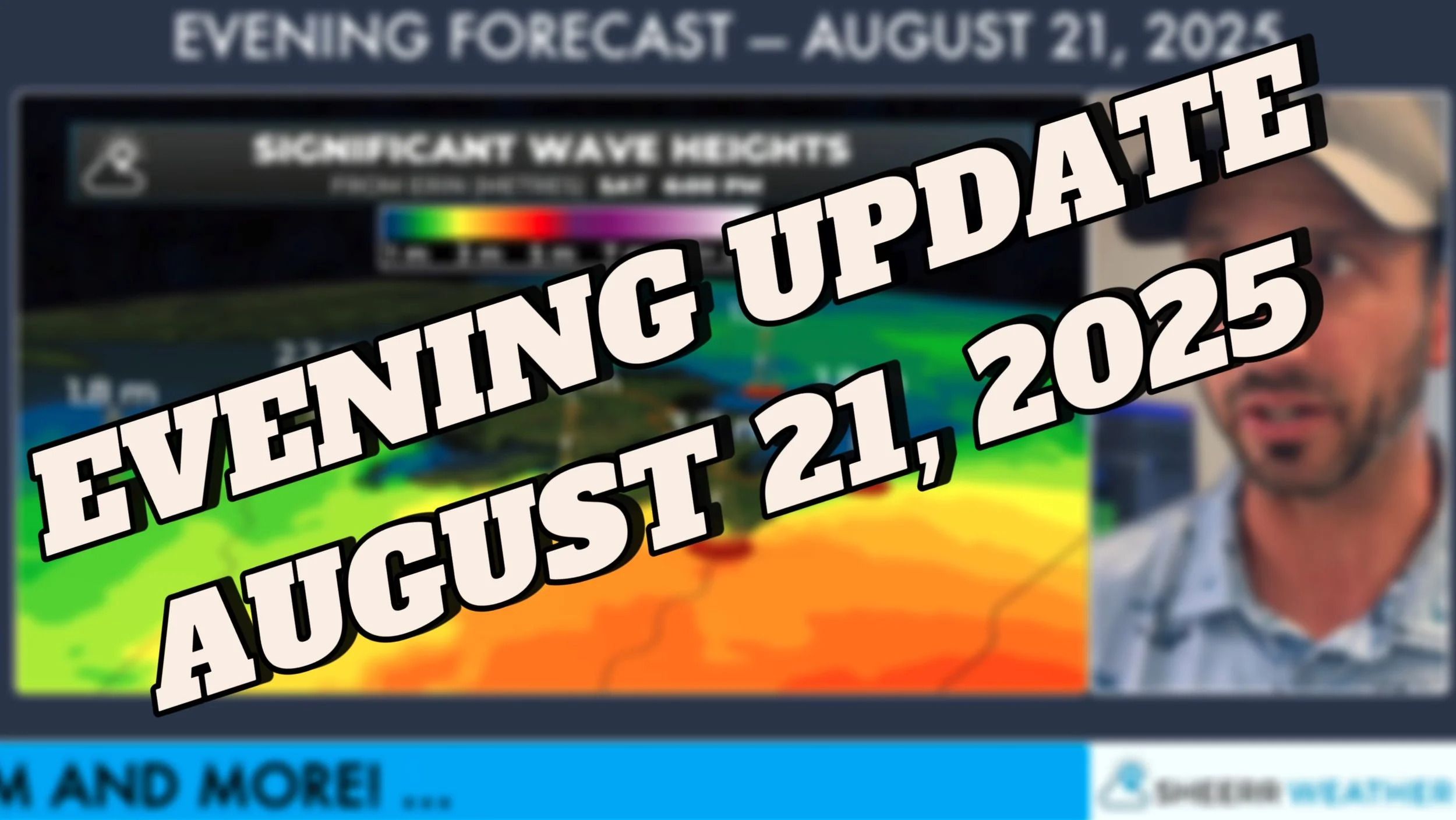
Looking ahead, Hurricane Erin is passing well southeast of Newfoundland. Impacts for us will be minimal, but there will be significant wave heights near shore, especially around Cape Race. For context, significant wave height is the average height of the tallest one-third of all waves measured in a given dataset. Maximum waves can be roughly double that, so a forecast of 3.7 m significant waves means some crests could top 7 m.
Marine Atlantic has already issued travel advisories for crossings around Argentia and North Sydney this weekend, largely due to those waves. Winds may gust upwards of 70 km/h around Cape Race early Saturday, but elsewhere, Erin’s impact looks limited to breezy weather and some drizzle or showers.
The weekend forecast:
Saturday: Damp, drizzly, breezy on the Avalon and eastern Newfoundland. Some rain possible, but confidence is low.
Sunday: Improving, especially in Labrador. Cooler, with showers in parts of Newfoundland.
All in all, a quieter pattern that favours firefighting efforts and keeps major storm impacts offshore.

