
Wednesday Morning Weather Briefing — July 29, 2026
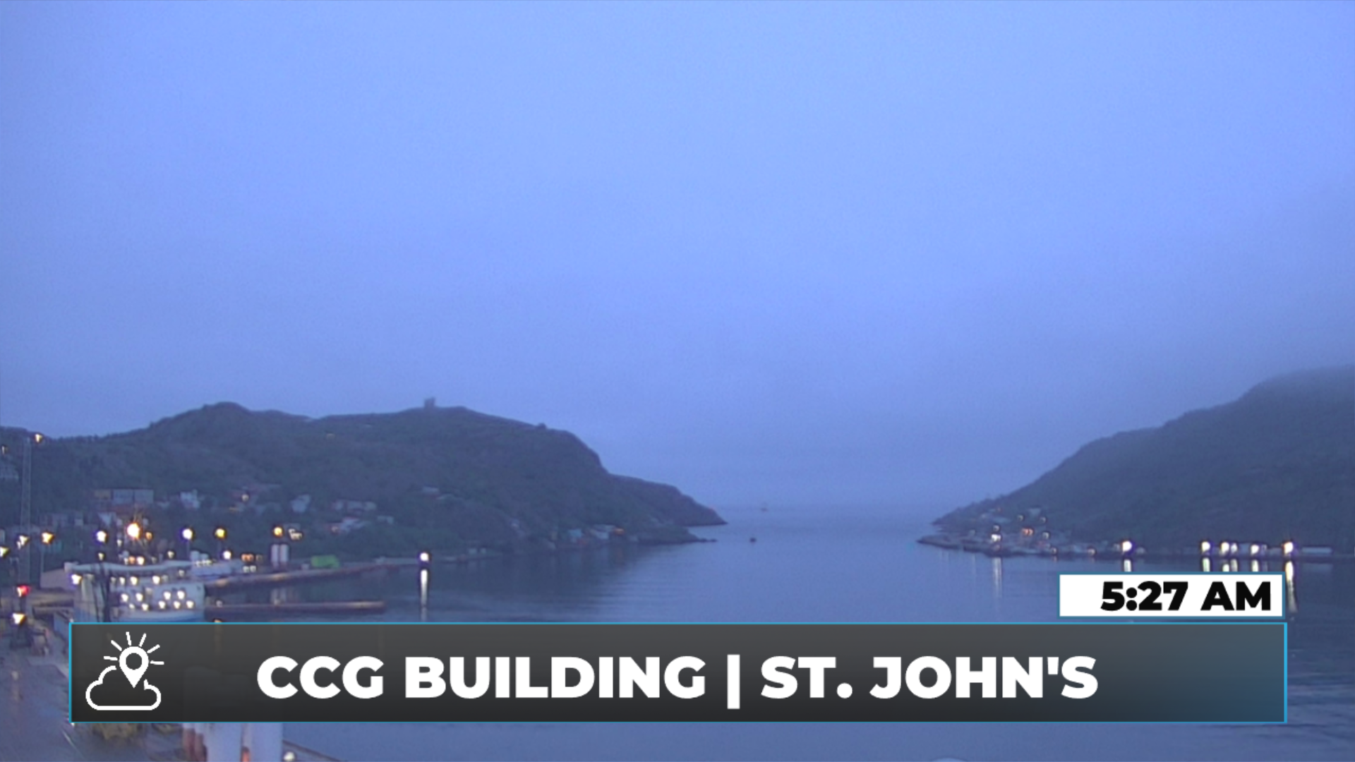
Good Wednesday Morning! Here are some highlights on the day(s) ahead:
A Heat Warning remains in effect for Eagle River and Upper Lake Melville until this evening. Highs will again be near 30ºC today.
Showers and areas of drizzle are affecting much of central and eastern Newfoundland from Green Bay to the Avalon. There is less fog, though.
Expect sunshine today for much of western and southern Newfoundland, while central and eastern areas gradually see clearing.
Coastal areas from near Twillingate, eastward and southeastward to the Avalon may not see much clearing of the clouds today.
Highs reach the upper teens to middle 20s for most areas today, except in the Heat Warned areas.
This morning’s update is sponsored by Roebothan, McKay, Marshall.

Visit MakeTheCall.ca today to learn more about how the law firm can help you!
Right Now
As of just after six o'clock, areas of rain, showers, and drizzle continue across much of Newfoundland's northern and eastern regions — roughly from the Baie Verte Peninsula and Green Bay down to the Avalon. The majority of it is light, and that's how it'll stay through the rest of the day. Extensive cloud cover is also blanketing a large portion of the island this morning.
Through Today - Newfoundland
That cloud sits around and behind an area of low pressure, which will gradually pull away as the day goes on. Clearing follows behind it, but it'll be limited to the Northern Peninsula, West Coast, Southwest Coast, and South Coast.
The Burin Peninsula, along with eastern and northeastern Newfoundland, will stay socked in. Expect a fairly sharp dividing line — you could genuinely drive out of the cloud and into sunshine, or vice versa. That line looks to set up somewhere around Gander: from roughly Twillingate to the Avalon, count on generally cloudy skies, while areas west of the line eventually turn sunny.
Daytime highs on the island peak in the upper teens to mid-twenties.
Newfoundland's forecast for today - July 29, 2026
Through Today - Labrador
A mix of sun and cloud, becoming more cloudy than not in the west later in the day. That's where afternoon showers and thunderstorms will first fire up — between Labrador West and the North Coast. Goose Bay turns hot again with highs near thirty before clouds increase. The good news: temperatures there look to cool off somewhat tomorrow, and the heat warning in effect will likely be lifted.
Labrador's forecast for today - July 29, 2026
Looking Ahead
We stay locked in this unsettled pattern — cloudy for eastern Newfoundland, with temperatures near or below seasonable normals across the island, and near or slightly above normal in parts of Labrador, thanks to the big Greenland block currently in place.
My next update will be posted later today!
FIND ME ON SOCIAL!
