
Tuesday Morning’s Weather Briefing — October 6, 2026
Good Tuesday Morning! Here are today’s TL;DR notes:
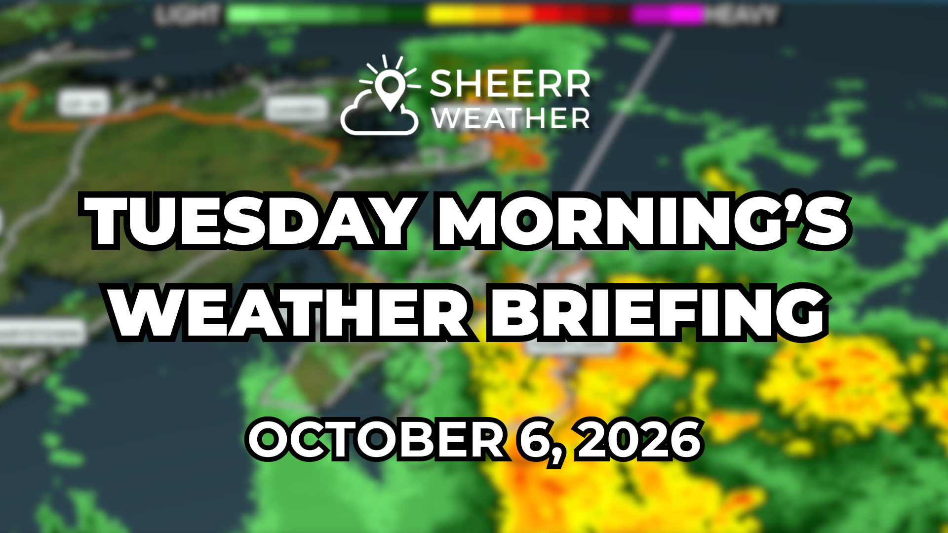
Areas of heavy rain and thunderstorms are moving through parts of eastern and northeastern Newfoundland this morning. Over 400 lightning strikes were detected over northeastern Newfoundland this morning!
Showers are currently more scattered across western Newfoundland.
It’s warm over eastern Newfoundland this m orning south of a warm front, temperaures are in the middle teens. It won’t last, as cooler air will sweep in from the west this morning.
Showers become more widespread over western Newfoundland later today, and the wind will pick up there as well. Gusts of 80 to 100 km/h are possible along most west-facing shores from near the Bay of Islands to Port aux Basques, and along the South Coast and possibly eastern areas this evening. The North Coast of Labrador will also see strong winds today.
Rain and snow will continue in much of northern and western Labrador through the day.
This morning’s update is sponsored by Roebothan, McKay, Marshall.
Visit MakeTheCall.ca today to learn more about how the law firm can help you!
An area of low pressure spinning over Labrador has pushed a warm front up through eastern Newfoundland. South of that front, temperatures are in the middle to, dare I say, upper teens, while north of it things are a bit cooler.
Newfoundland
Along the front, we saw some fairly intense shower and thunderstorm activity earlier this morning, mostly over eastern Newfoundland and toward Bonavista Bay and the Bonavista Peninsula. Over 400 lightning strikes were detected by satellite, though most of that has since lifted north.
As of just after six o'clock, a batch of heavy rainfall is about to move over the metro area, currently sitting over the eastern side of the Avalon and tracking north. Expect that to be with us for at least an hour or so through the morning. Beyond that, eastern and central Newfoundland improve through the day, with temperatures falling from the middle to upper teens this morning back to the lower teens this afternoon.
For western Newfoundland, scattered showers this morning will linger and then turn more numerous later this afternoon and evening, leading to moderate rainfall with periods of heavy rain over much of the west. That's thanks to cold air moving in aloft while the Gulf of St. Lawrence stays on the warm side. On top of that, high winds develop over western Newfoundland this afternoon, with gusts nearing 80 to 100 from around the Bay of Islands down through Port aux Basques. Those strong winds shift eastward later, so areas along the south coast, Fortune Bay, and potentially Placentia Bay, Trinity Bay, and eastern Newfoundland may see gusty winds this evening as well. No wind warnings are in effect yet, but I suspect they'll be issued.
Labrador
Rain and snow continue for a large portion of the region, with snow mainly in the higher terrain and rain in the lower elevations. The west improves this evening, but eastern Labrador north of roughly Lake Melville won't see much improvement until Wednesday morning. Southeastern Labrador isn't looking too bad today.
High winds develop along the north coast this afternoon and ease off Wednesday morning, with gusts of 70 to 100 for areas like Hopedale, Nain, and possibly Makkovik, so wind warnings may be necessary there too. See the loop above for timing and better spatial awareness.
Across the board, the weather improves for Wednesday.
FIND ME ON SOCIAL!
