
Tuesday Morning Weather Brief — August 26, 2025
This morning’s update is sponsored by Roebothan, McKay and Marshall.

Visit MakeTheCall.ca for more!
Good Tuesday morning!
We are waking up to rain falling across much of Newfoundland and Labrador to begin the day. The rain is heaviest over central and southern areas of Newfoundland as of about 6 AM. The simulated radar imagery across the region should effectively illustrate this point.
An area of low pressure will move through Labrador today, tapping into some tropical moisture. As this low journey through the Province, it will keep the rain going on the Island through much of today. Labrador will see areas of rain today and tonight, before it ends Wednesday morning. The exception will be the North Coast and Torngats, where rain will linger into Wednesday.


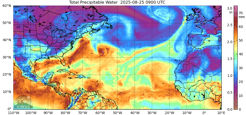
The air the low is tapping into has some tropical origins, so as well as being rainy on the Island today, it will be humid. There will also be some areas of fog along and near south-facing shorelines. Below is an animation showing precipitable water in the atmosphere. Basically, the brighter the colours, the more moisture there is and the more humid it feels. As our low departs tomorrow, much of the moisture that arrived today will be pushed into the Atlantic.
Temperatures today peak in the teens and 20s on the Island and single digits and teens in Labrador. Generally, the cooler areas will experience onshore winds (wind blowing off the ocean), while milder areas will have offshore flow today.

Speaking of the wind… it will be a bit windy today for parts of eastern Newfoundland and the Avalon Peninsula. Wind speeds are expected to become sustained around 40 km/h this afternoon and will gust over 70 km/h in exposed areas. The wind speeds are expected to calm down in the evening.
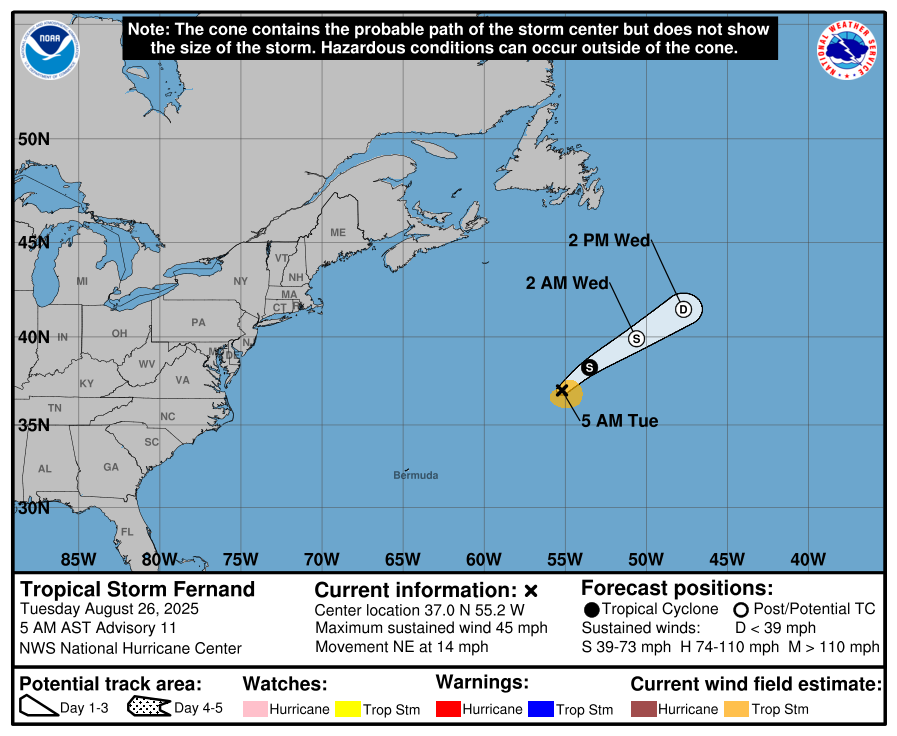
Watching Tropical Storm Fernand
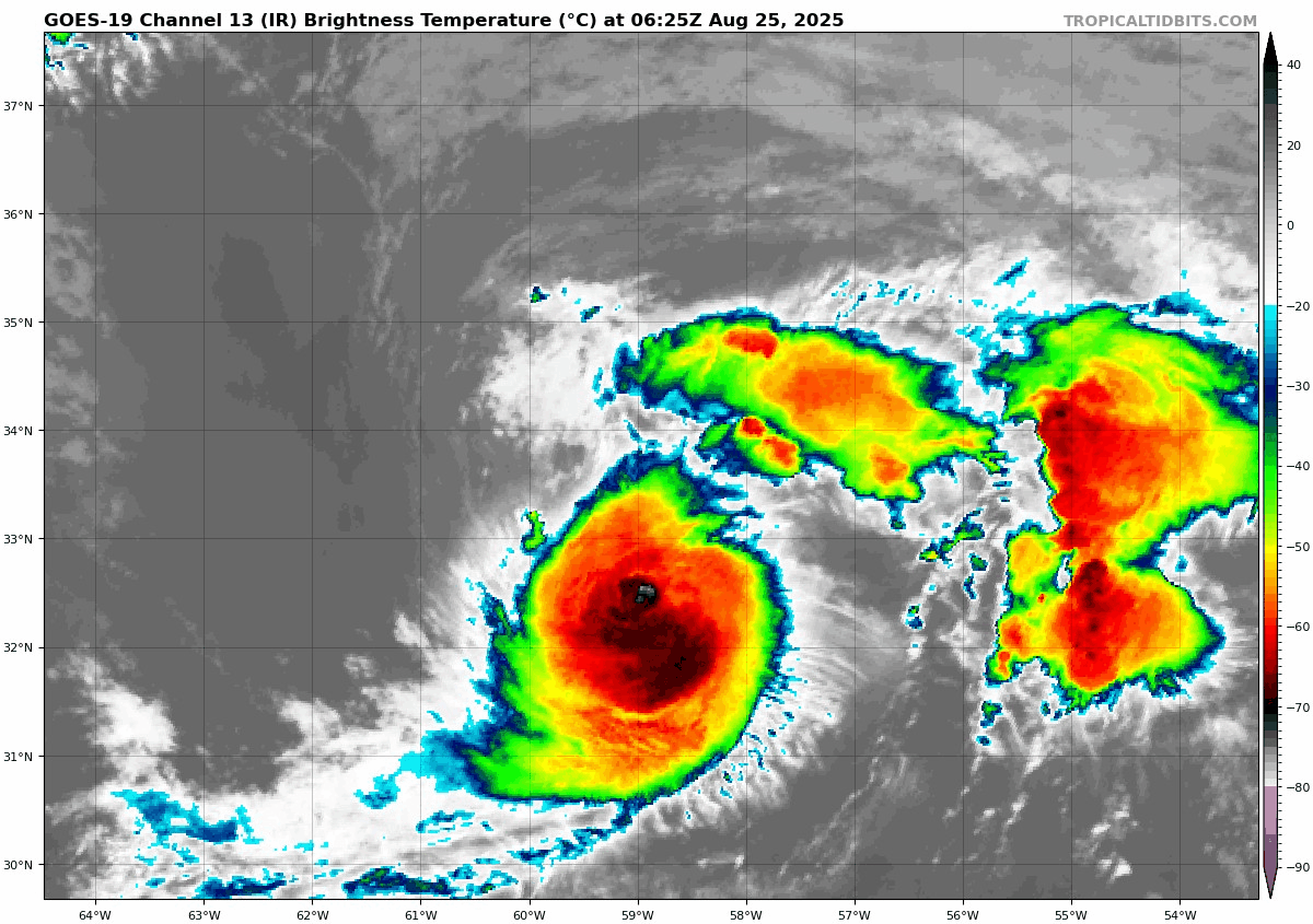
Tropical Storm Fernand is a bit weaker this morning than it was yesterday. Wind speeds sustained at 75 km/h and the storm is moving northeast at 22 km/h. The centre was located 1020 kilometres east-northeast of Bermuda. Fernand is weakening and is forecast to continue that trend as it moves into drier air and colder sea surface temperatures. The cyclone is expected to dissipate within the next 48 hours and will not pose a threat to NL weather.
I’ll have my next update posted this afternoon. Have a great Tuesday and stay safe!
Eddie