
Monday Morning Weather Update — December 1, 2025
Good Monday morning, and welcome to Meteorological winter!
Today, we are going to see an area of low pressure track from near PEI this morning through the Gulf of St. Lawrence, and eventually through the Strait of Belle Isle late this afternoon or evening. This will set the stage for another messy day of weather on the Island, while Labrador will pick up 2 to 5 cm of new snow, with up to 20 cm along parts of the southeast coast. I say messy weather on the Island because in some areas there will be snow this morning, but the majority of us will see rain today due to the fact that Newfoundland is on the warm, or eastern, side of this low-pressure centre.


This animation (below) of future satellite and radar imagery should drive the point home nicely. The exception to the rain on the Island will be the higher terrain of western Newfoundland and the Great Northern Peninsula, where it will snow for several hours this morning before a change to rain as the temperature warms above freezing. That will be followed by a cool down later today and a return to cold air and subsequently a round of onshore flurries that will linger into Tuesday.

This morning’s update is sponsored by Roebothan, McKay, Marshall.
MakeTheCall.ca
The rain will fall heavily at times today along the South Coast, while farther north it will be steady, though not overly heavy. Rainfall amounts along southern-facing shores will total 25 to 50 mm, with lesser amounts the farther north you go. The rain will end from west to east this afternoon or evening. And again, the cold temperatures will return tonight as the low moves north and the cold front sweeps through.
Today’s rainfall amounts - Next 24 hours starting at 6 AM on December 1, 2025. Source: Sheerr Weather
Tuesday’s Forecast
Tuesday looks quiet across much of the NL as a high-pressure area builds in behind our departing low and ahead of our incoming low on Wednesday. There will be some light snow developing over western areas of the Island during the late afternoon or early evening… well ahead of the system arriving late Tuesday night or early Wednesday morning. Highs on Tuesday will be near or below freezing across NL.
Tuesday’s forecast, December 2, 2025. Source: Sheerr Weather
Wednesday into Thursday…
A rapidly developing area of low pressure will take shape in the Gulf of Maine Tuesday night (AKA Nor’Easter) and will begin it’s journey into Atlantic Canada. This low promises to bring heavy rain and snow to much of the region from Tuesday night through late Wednesday or early Thursday. And by region, nearly the entirely of Atlantic Canada. Expect snow in much of NB and PEI and a mix of rain and snow across NS. Meanwhile, the forecast for Newfoundland (Labraodr misses out on this one) is a challenge.
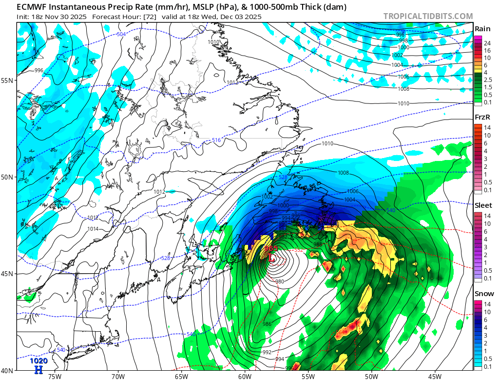
Snow will develop over the Island late Tuesday night or early Wednesday morning. As the low moves north, the precipitation rates will increase Island-wide, and snow will transition to rain over the southern and eastern areas of Newfoundland, including the Avalon, Burin, and possibly the Bonavista Peninsulas, while areas farther west remain snow. At the moment, it looks like central and parts of eastern and/or northeast Newfoundland will see heavy snowfall for several hours on Wednesday morning into the afternoon. The low will depart Wednesday night, and the rain and snow will end by Thursday morning.
For areas of central and eastern that remain snow, there will be a significant amount by the time we are all said and done. Likely well over 15 cm for a large area. The question, in my mind, lies farther east and south… mainly on the Avalon, Burin, and Bonavista Peninsulas. The question is: does this area see a period of heavy snowfall followed by a bit of rain, or a brief period of snow followed by a longer period of rain? The computer guidance is still fighting over this, and as of this morning, I’m still working on those details.
Long story short… expect a challenging travel day on Wednesday as we see the first widespread significant snowfall of the season on the Island. Details and updates will follow today. I expect Environment Canada to issue weather alerts later today as well. Check back here, the app, and my social feeds for new info.
I’ll have my next update posted later today!
📱 Get the Sheerr Weather App in the Apple App Store and Google Play Store.
🗺️ Check out the Map Room to see all the latest weather observations for the Province.
🎥 Check out the Provincial Highway Cams to see 👀 what’s going on around our highways and byways!