
Record Temperatures, High Winds, Heavy Rainfall Highlight NL’s Latest Storm Summary From Environment Canada
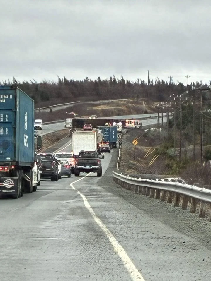
Transport truck blown on its side in highs winds on the TCH near near Ocean Pond yesterday (January 16, 2026). Credit: Tammy Joyce
Below is the full storm summary from Environment and Climate Change Canada for the system that affected Newfoundland and Labrador late this week.
This was issued Saturday morning, January 17, 2026.
“A low pressure system formed over the Gulf of St. Lawrence on
Thursday and tracked through the Strait of Belle Isle Thursday night
before exiting northeast of Newfoundland. A second low developed
south of Nova Scotia Thursday night, then intensified as it crossed
western Newfoundland on Friday before departing to the northeast
Friday night.
Rain arrived in eastern Newfoundland ahead of the first system on
Wednesday, becoming heavier from Thursday into Friday as tropical
moisture surged northward ahead of the second low. This air mass
also brought unseasonably mild temperatures, with some locations
recording their warmest January day on record. In addition, strong
southerly winds developed ahead of the second low, shifting to
strong west to southwesterly winds in its wake.
The following is a summary of weather event information covering
these events, as received by Environment and Climate Change Canada
as of 5:30 A.M. NST today.
1. Rainfall in millimetres:
St. Alban’s: 78.4
Argentia: 76.3
Salmonier Nature Park: 74.6 *
St. Lawrence: 69.1
St. Mary’s: 67.8 *
Deer Park: 67.4 *
Bellevue: 63.0 *
Burgeo: 58.3
Winterland: 53.9
Cape Race: 42.3
Port aux Basques: 38.7
St. John’s West: 37.3
St. John’s International Airport: 35.2
2. Maximum wind gusts in kilometres per hour:
Sagona Island: 130 (incomplete data)
Old Perlican: 125 *
Argentia: 122
Bonavista: 121
St. John’s International Airport: 121
Pass Island: 117 *
Cape Pine: 116 *
Trinity (Fort Point): 116 *
Grates Cove: 111
Bauline: 109 *
Pool’s Island: 109
Saint-Pierre Airport: 109
St. Lawrence: 109
Lord’s Cove: 108 *
St. John’s (East White Hills): 108 *
Lamaline: 107 *
Port aux Basques: 104
Winterland: 104
Burgeo: 103
Musgrave Harbour: 103 *
Fogo Island: 101 *
Mount Carson: 100 *
Twillingate: 100
Gander International Airport: 94
* denotes data from unofficial observation station
3. The following areas set a daily maximum temperature record on
January 16, 2026 (temperature values given in degrees Celsius):
BONAVISTA AREA (Bonavista)
New record of 14.5
Old record of 12.8 set in 2006
Records in this area have been kept since 1956
CAPE RACE AREA (Cape Race (AUT))
New record of 9.1
Old record of 8.3 set in 1927
Records in this area have been kept since 1920
PLACENTIA AREA (Argentia (AUT))
New record of 14.5
Old record of 12.7 set in 2006
Records in this area have been kept since 1945
ST. JOHN’S AREA (St. John’s Intl A)
New record of 16.3
Old record of 15.0 set in 1892
Records in this area have been kept since 1874
ST. LAWRENCE AREA (St Lawrence)
New record of 11.7
Old record of 8.0 set in 2023
Records in this area have been kept since 1966
WINTERLAND AREA (Winterland Branch Hill)
New record of 13.8
Old record of 10.7 set in 2006
Records in this area have been kept since 1970
Note: the temperature records reported here have been derived from a
selection of historical stations in each geographic area that were
active during the period of record.
In addition, the following area(s) set a new monthly extreme maximum
temperature record for January on January 16, 2026 (temperature
values given in degrees Celsius).
ST. JOHN’S AREA (St. John’s Intl A)
New record of 16.3
Old record of 15.6 set on January 15, 2006
Records in this area have been kept since 1874
ST. LAWRENCE AREA (St Lawrence)
New record of 11.7
Old record of 11.4 set on January 30, 2022
Records in this area have been kept since 1966
WINTERLAND AREA (Winterland Branch Hill)
New record of 13.8
Old record of 13.3 set on January 15, 2006
Records in this area have been kept since 1970
Please note that this summary may contain preliminary or unofficial
information and does not constitute a complete or final report.”