
Friday Morning Weather Update — December 12, 2025
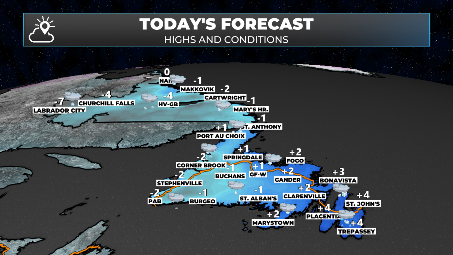
Today’s forecast — December 12, 2025
Good Friday morning!
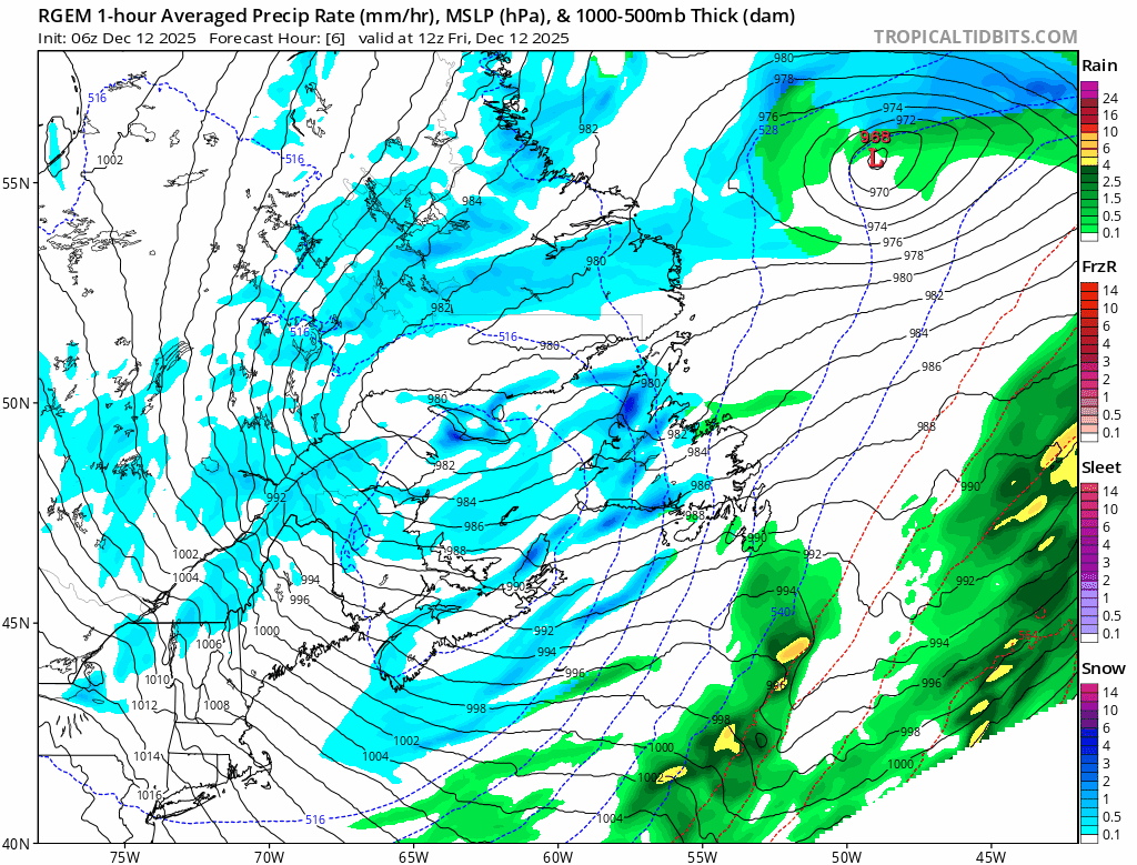
The area of low pressure that brought the rain to the Island and snow to Labrador yesterday has moved into the North Atlantic this morning. In its wake, the weather is turning cooler, it’s breezier, and the snow is still ongoing in parts of Labrador. Temperatures are largely still near or above freezing across Newfoundland, while in Labrador, they are well below freezing. As the low continues to depart, the colder air will filter back across the Island throughout the day. For many of us, it will be colder this evening than it is now.

On top of that, there will be areas of flurries and snow squalls developing over western regions of the Island this morning, and over the southern and eastern areas later today as the colder air moves in and the wind shifts to more southwest and south-southwest. While wind speeds will not be high enough to warrant weather alerts today, blowing and drifting snow is expected along the West Coast and Northern Peninsula by this afternoon. Unlike the other day, these squalls and flurries should be short-lived in most areas.

The animation below shows that very well. It also shows how the weather will turn calmer tomorrow, and the weekend looks largely uneventful for much of the region. I cannot say the same for next week.
Animation of where the snow and flurries will be today through early Saturday morning - December 12 and 13, 2025.
The weather over the weekend for NL looks calm and quiet with just a few flurries here and there. If you have some outdoor plans or things to take care of around the house, this will be a great couple of days to do it, as we will be between weather makers. Check the app for the forecast for your area!
This update is sponsored by Roebothan, McKay, Marshall.

Visit MakeTheCall.ca TODAY to learn more about what the law firm can do for you.
Sunday Night through Tuesday
My Initial Assessment
The next area of low pressure will move over or near eastern Newfoundland / the Avalon Peninsula on Monday. This will be a very potent low-pressure area that will bring high winds, heavy snowfall, and significant rainfall to areas that fall on the warm side of this storm. While it’s still a bit early to start talking about snowfall amounts, those will likely be higher somewhere in the central/northeast coast area at this time. Chances are already 40-60% for amounts of 30 cm or more in that area.
Chances of seeing 30 cm of snow, or more, by Tuesday afternoon (December 16, 2025). Model: ECMWF Ensembles
The Avalon, Burin, and Bonavista Peninsulas will see snow arrive Sunday night, then mix with or change to rain Monday, followed by another round of snow as the system departs later Monday or Monday night. The rest of the Island will see snow through Monday, ending Monday night or early Tuesday.
The Wind
There will be an area of very high wind speeds (sustained near 80 to 100 km/h) that will develop on the western side of the low and then migrate to the south and east. Initially, this looked like it would expand offshore, but some trends suggest it will develop faster, which means parts of the Island are at risk for more damaging winds. At the moment, I’m concerned that the core of high winds will move across a good bit of eastern and northeastern Newfoundland, which includes areas from Notre Dame Bay to the Southern Shore and all areas between near the north-facing shores.
There is also a risk of coastal flooding and storm surge along the north- and east-facing shores during the high tides on Sunday night and Monday.
Details will follow. Stay tuned.