
Arctic Front and Developing Low Bring Widespread Winter Storm Conditions to NL today — December 5, 2025
Good Friday morning!
Areas of rain and snow are being reported across NL this morning as an arctic cold front moves from west to east across Newfoundland and Labrador. The air behind this front is much, much colder than the air ahead of it. The radar image below shows rain on the Avaon and snow elsewhere on the Island at this early hour.

THE TEMPERATURES
As we look at the temperatures this morning, we can clearly see the differentiation in where the cold air is and where it isn’t. That cold air will continue to ooze across the Island through the rest of the day. Right now, temperatures are about as warm as they’re going to be today for most areas. The exception will be the Northern Peninsula and parts of the Labrador Coast, where the Arctic will not arrive until later today or tonight.
Temperatures observations as of 6:15 AM on December 5, 2025
The animation below shows how temperatures will drop throughout the remainder of the day. And that only tells part of the story. The other part will be the snow squalls, areas of snow, and high wind speeds, a large chunk of the Province will be dealing with today, tonight, and into Saturday morning.
Wind chills will be into the minus teens, minus 20s or lower by this afternoon and will stay there. There is also the potential of a flash freeze this morning on the Avalon as the colder air arrives and the rain ends or briefly changes to snow.
This update is sponsored by Roebothan, McKay, Marshall.

Visit MakeTheCall.ca TODAY to learn more about what the law firm can do for you.
THE WEATHER
Along the front this morning, we are seeing areas of rain. Behind the front, we are seeing areas of snow and blowing snow. As the day continues, we will see snow squalls develop along and near the West Coast and parts of the Northern Peninsula. There will be widespread snow across the Northern Peninsula, extending into a large chunk of Labrador. We will see areas of flurries and snow squalls along the South Coast, Burin, and Avalon Peninsula for a few hours this afternoon. On top of all that, it looks like areas near Cape Freels, through and near the coast of Notre Dame Bay, and into the Green Bay - White Bay area will see snow and blowing snow today as well. The animation below of future radar and satellite shows this all very nicely.
Snowfall today into tonight will vary widely, but I’ve attached four images that show the GRAF model forecast quite well. In areas that see snow today, we are expecting BLIZZARD CONDITIONS at times due to a combination of snow, blowing snow, and wind. Travel in some areas may be very difficult if not impossible, especially this afternoon and evening, as the winds pick up. The West Coast will see the winds pick up a bit earlier than farther east on the Island.
Tap on any image below to enlarge it.


THE WIND
Wind speeds will ramp up throughout the day as an area of low pressure strengthens east-northeast of Newfoundland. The wind speeds will be no joke by later today. Expect gusts to near Hurricane-force for many regions of southern, eastern, and northeastern Newfoundland later today into tonight. Wind speeds will drop by Saturday morning. A ‘Yellow Warning’ for wind gusts of 100 to 120 km/h from the west or northwest is in effect for MUCH of Newfoundland. Granted, the highest winds will occur along and near coastal areas and/or in the higher terrain.

The ‘Yellow Warning’ for Wind for today and tonight (Dec 5 and 6, 2025)
Winter Storm & Snowfall Alerts – Friday, December 5 - AS OF 7 AM NST.
CLICK HERE FOR THE EC ALERT PAGE
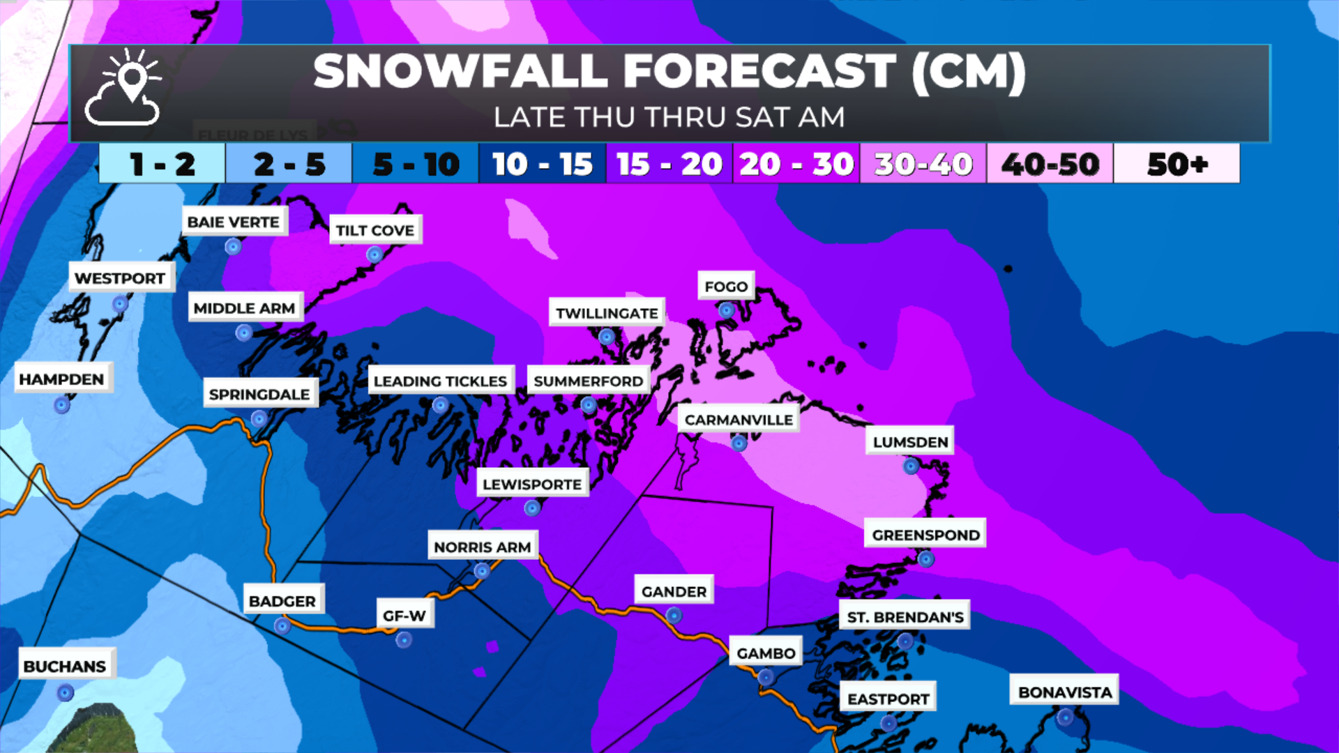
Winter Storm Warning — Bonavista North & Bay of Exploits
Impact Level: Moderate
Confidence: High
A winter storm is bringing hazardous conditions to Bonavista North and the Bay of Exploits today.
Snowfall: 15–20 cm
Winds:
This afternoon: westerly up to 80 km/h (100 km/h along exposed coast)
Tonight: westerly up to 90 km/h (110–120 km/h along parts of the coast)
Timing: This morning through midnight.
Strong winds and periods of heavier snow will create blowing snow and sudden drops in visibility. Some localized bands may push totals higher in spots. Travel will be difficult at times.
Blowing Snow Advisory — Gander & Vicinity
Impact Level: Moderate
Confidence: High
Poor visibility in blowing snow is expected this evening as winds strengthen over fresh snowfall.
Winds: Westerly gusts near 90 km/h
Timing: This evening
Expect near-zero visibility at times and hazardous travel.
Blowing Snow Advisory — Rigolet to Cartwright
Impact Level: Moderate
Confidence: High
Blowing snow will develop overnight into Saturday morning across coastal Labrador from Cartwright to Black Tickle and Rigolet.
Winds: Northwesterly 60 km/h, up to 80 km/h in exposed coastal areas
Timing: Overnight tonight into Saturday morning
Visibility will drop quickly at times. Travel is likely to be hazardous.
Winter Storm Warning — Postville–Makkovik
Impact Level: Moderate
Confidence: High
A winter storm is ongoing across Postville and Makkovik.
Snowfall: 20–35 cm, higher amounts possible
Winds: Northwesterly gusts near 70 km/h, occasionally higher
Timing: Continuing until Saturday morning
The heaviest snow bands are uncertain in placement, but strengthening winds will continue producing blowing snow and reduced visibility. Consider postponing non-essential travel until conditions improve.
Snowfall Warning — Red Bay to L’Anse-au-Clair
Impact Level: Moderate
Confidence: High
Snow continues across the far southeast Labrador coast.
Snowfall: Near 15 cm, with local higher amounts
Timing: Until this evening
Travel will be difficult due to accumulating snow. Roads and walkways may be slippery and slow to clear.
Snowfall Warning — Upper Lake Melville & Eagle River
Impact Level: Moderate
Confidence: High
A widespread snowfall event continues for Happy Valley–Goose Bay and Eagle River.
Snowfall: 15–25 cm
Timing: Through tonight
Expect challenging travel and reduced visibility at times as snow continues.
Snowfall Warning — Northern Peninsula East
Impact Level: Moderate
Confidence: High
Snow continues along the Northern Peninsula East today.
Snowfall: 15–25 cm; highest amounts north of Hare Bay toward St. Anthony
Timing: Until midnight
Roads and walkways will be difficult to navigate. Conditions may deteriorate quickly in heavier bursts.
Snow Squall Watch — West Coast (Port aux Basques to Hawke’s Bay)
Impact Level: Moderate
Confidence: High
Snow squalls are expected to develop today and tonight along the west coast of Newfoundland.
Locations: Port aux Basques → Bay St. George → Corner Brook → Deer Lake → Gros Morne → Parson’s Pond → Hawke’s Bay
Snowfall: 10–20 cm, with higher amounts under the most intense bands
Winds: West–northwest 80–100 km/h (up to 120 along the coast)
Timing: Today and tonight
Cold Arctic air will trigger narrow but intense squall bands capable of rapidly reducing visibility to near zero. Travel may become dangerous with sudden whiteouts.
I will have updates throughout the day and will also have some live streams. Be sure to get the app and follow me on socials to see the latest weather information from Sheerr Weather!